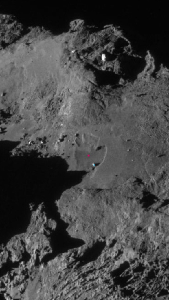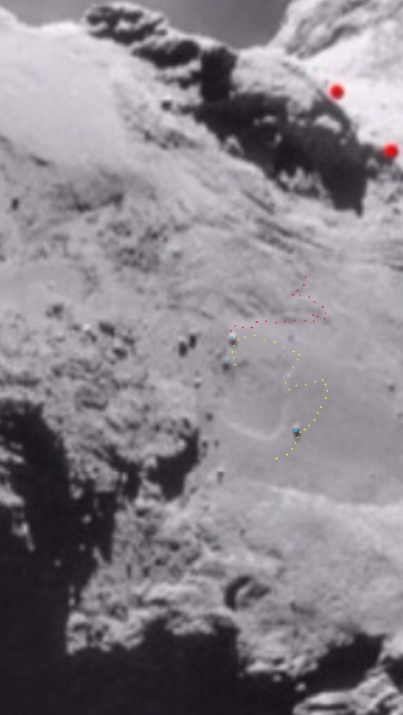
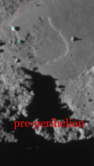
NAVCAM photo from March 2015 (pre-perihelion). The post-perihelion erosion perimeter is superimposed in yellow. 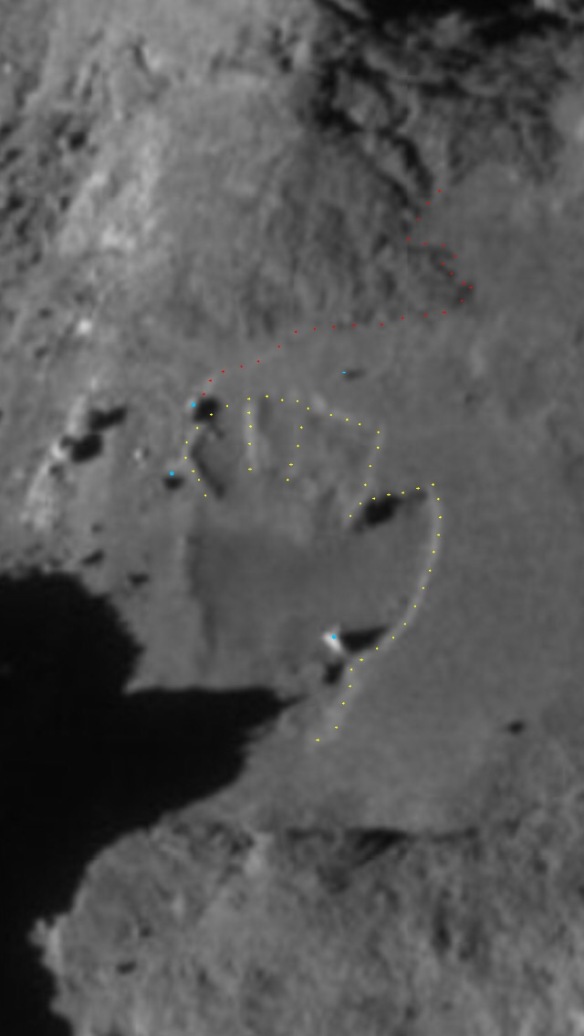
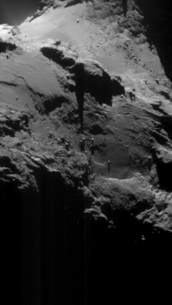
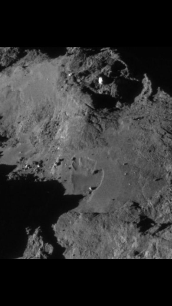
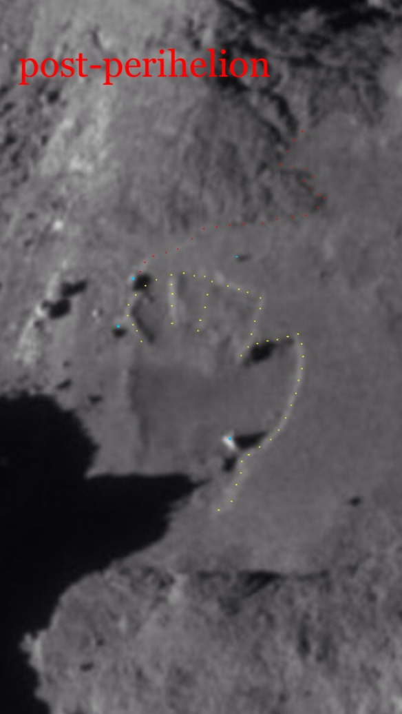
NAVCAM photo taken on 1st May 2016 (post perihelion).
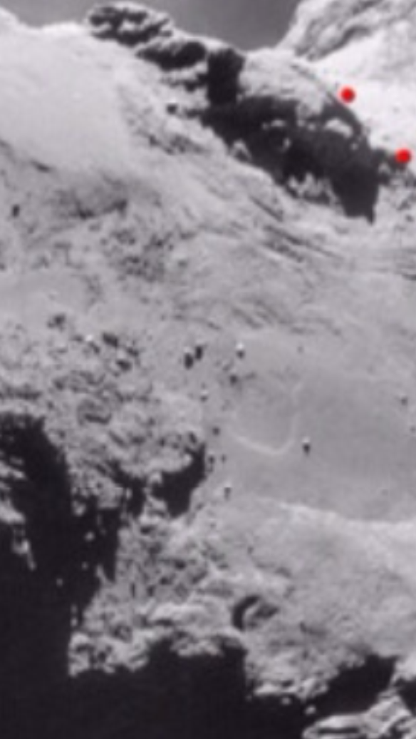
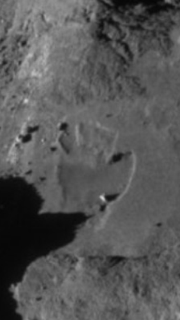
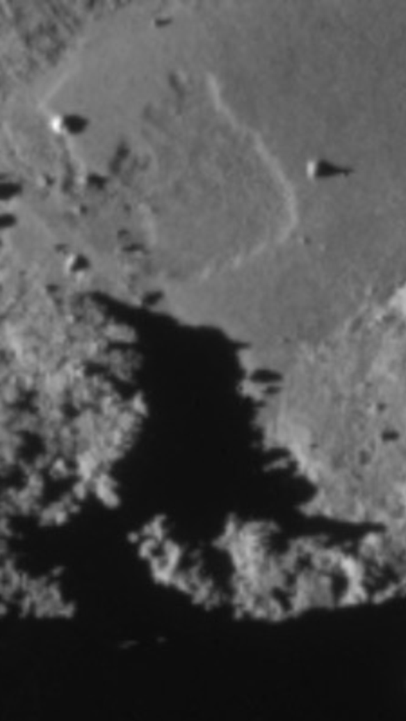
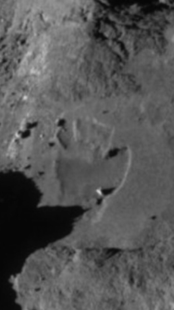
Cross-checking with the two unannotated versions above is recommended as the dots can obscure some of the detail, despite being small.
There are four more pre-perihelion images, from different angles, further down. Also an update after the ‘BACKGROUND’ subheading with a clearer pre-perihelion photo.
Key:
Yellow- ‘dinosaur’ footprint perimeter. It is delineated in its post-perihelion form on both images (pre-perihelion and post-perihelion). Expressing it as a dinosaur footprint allows you to use pattern recognition to see the possible signs of the toes even on the pre-perihelion image. There are three fingers at the top, joined together, and there’s a large, fat thumb sticking out to the right. Whether stunted versions of the fingers are visible or not in the pre-perihelion image, it’s very clear that the right hand perimeter of the palm has grown to incorporate the large, bright boulder within it. The pre-perihelion perimeter is well to the left of the bright boulder and the three ‘fingers’ at the top are not very clear at all except for a stunted version of the right hand one.
Two large red dots- please ignore for now (see photos at the bottom).
Very small red- perimeter of a rocky feature in Anubis. This serves as a fiduciary point, helping us to check the footprint is indeed in the same location in both photos. There’s also a fairly straight rocky perimeter just below the dinosaur print. That’s more discernible in the larger pictures from which the header close ups were taken. These are included at the bottom of this post.
Blue- four boulders that match between the images. There are two more, unmarked and close together, to the left of the left hand marked pair.
BACKGROUND
Groussin et al. (2015) identified large areas of Imhotep that sank 5 metres +\- 2 metres just before perihelion in 2015. This collapsed feature on Anubis resembles those on Imhotep. It exhibits the same well-defined scarp on the growing front which is on the right of the footprint shape. However much the footprint may have grown in terms of discerning the exact distance of the growth of the front, what is certain is that before perihelion 2015, the large, bright boulder was outside the perimeter of the feature and is now inside the perimeter. It is now sitting on the collapsed surface material whereas before, it wasn’t.
UPDATE 20th May 2016
Here is one more comparison using a clearer pre-perihelion photo and the same post-perihelion photo. It’s 6 photos, comprising 3 pairs of the same two photos: annotated; unannotated; zoomed out originals. Pre-perihelion erosion perimeter isn’t dotted yellow because it’s obvious.
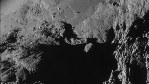
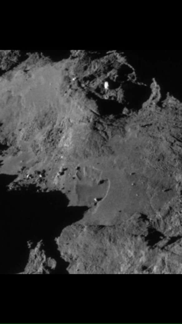
FOUR MORE PRE-PERIHELION IMAGES (TAKEN NOVEMBER TO DECEMBER 2014).
Key for all four photos:
Fuchsia- (zoom required) the original area of subsidence with its erosion front clearly to the left of the boulder.
Blue- the boulder that’s outside the area of subsidence in these four photos before perihelion and inside the area only after perihelion.
A fifth photo sits below the four. It’s the post-perihelion close up again, annotated in the same way as the other four. It shows the boulder now clearly within the newly extended erosion front.
Post-perihelion photo for comparing with the above four:
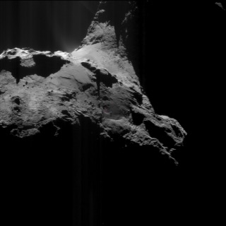
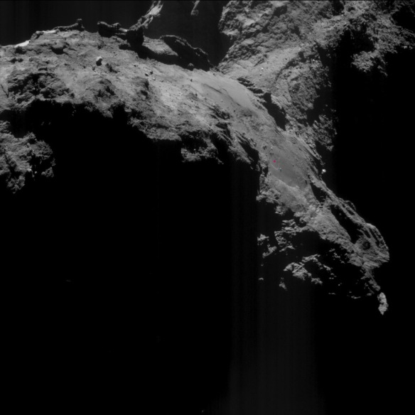
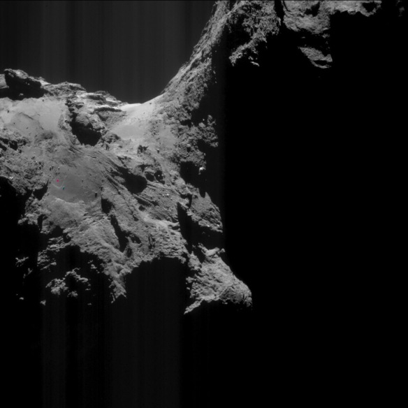
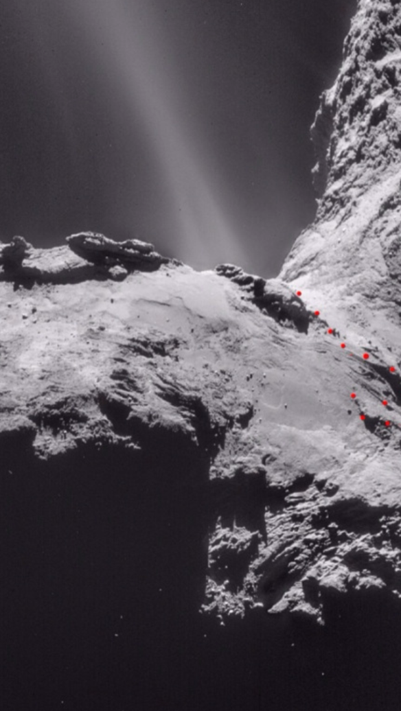
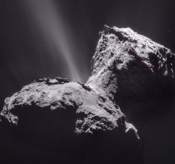
CONTEXT PHOTOS FOR THE TWO HEADER PHOTOS
The large red dots are the head rim’s seating on the body because this is the Part 17 header.
THE ORIGINAL FULL-SIZE PHOTOS
You can see the head rim as well as the seating in the pre-perihelion photo. The post perihelion close up was swivelled 90° after being cropped from its full-size photo:
Copyright ESA/Rosetta/NAVCAM – CC BY-SA IGO 3.0
To view a copy of this licence please visit:
http://creativecommons.org/licenses/by-sa/3.0/igo/
All dotted annotations by Scute1133 (A. Cooper).

